MerginMaps/Data in the field#
The access points documented in Read-access to Svalbox resources sadly do not work when going into the field. Simply put, they only allow for access when you’re connected to the internet. Luckily, tools exist that enable access from offline places, such as the majority of Svalbard. In this entry we describe the use of MerginMaps to make Svalbox transportable. There are, however, several other apps that can be used for the same purpose.
MerginMaps App#
Proceed by downloading the MerginMaps [2] app on your smarthphone or tablet. Once installed, proceed to the My Projects page, which should be empty still. Instead of being shown the projects, you will be prompted to login. Use the credentials provided to you in class, or send the Admin a message to receive Read-only access to the Svalbox resources.
The following MerginMaps tutorial provides details on the use of the app:
https://merginmaps.com/docs/tutorials/mobile/

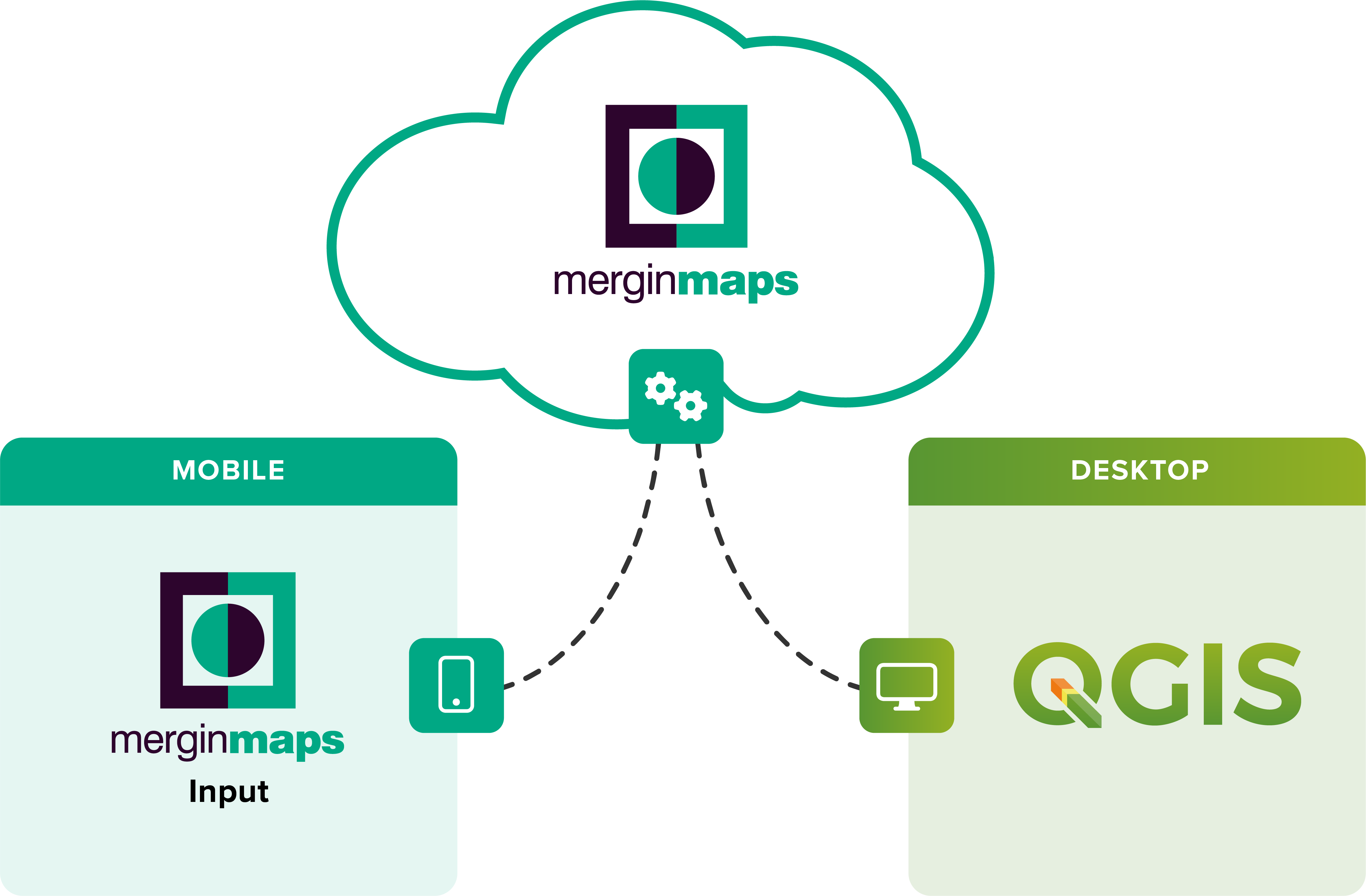
Fig. 22 Field data collection and integration with QGIS and Mergin Maps [2]. Image source#